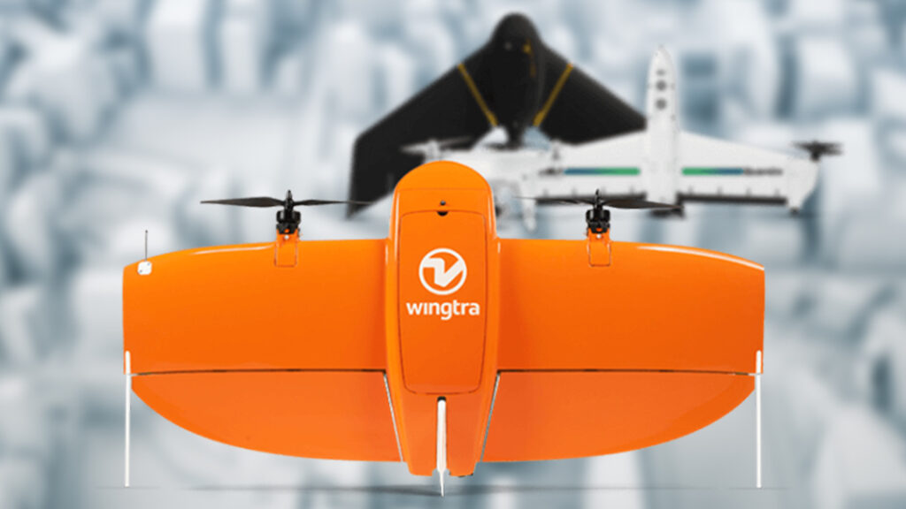
Drone & Satellite Data Acquisition
REMOTE MONITORING & SURVEYING OF WATER & WASTE INFRASTRUCTURE
Who we are
We are a remote monitoring & surveying business that helps organizations monitor and manage critical infrastructure, including water and tailings dams, bulk water pipelines, and subsurface conditions.
We're not big on corporate jargon, but, if you must call it a mission, then ours is to develop remote solutions to help people who manage tailings and ash dumps, water infrastructure and terrain.
Our vision is to keep doing useful work, over and over, in more places, for more people, without over complicating it. We show up, get the data, and give it to people who need it. Then we do it again and again.
We combine aerial drones, satellites, surface & underwater drones, paired with specialised sensors to deliver a complete picture of your assets. This technology allows for safer, faster and more cost-effective assessments.
Who We Serve
We partner with a diverse range of professionals, providing specialized remote monitoring and surveying solutions.
Data to design, construct, monitor, and ensure the safety of dams, slopes, & embankments.
Fast, accurate drone surveys for volumes, depths, site changes, and operational planning.
Magnetic surveys and subsurface insights to support exploration and risk assessments.
Asset monitoring to reduce non-revenue water losses and plan maintenance proactively.
Our Services
We provide a comprehensive range of field services to ensure your operations run smoothly and efficiently.
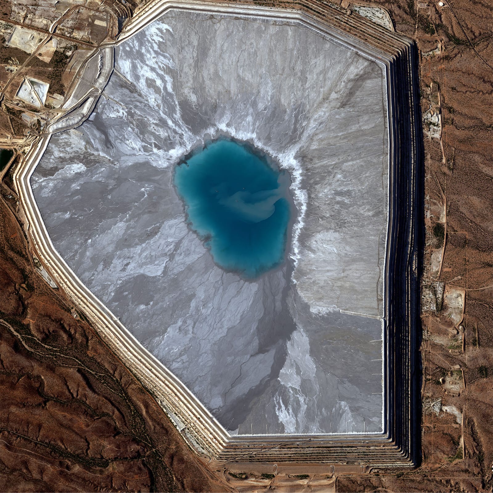
Satellite monitoring captures deformation trends, supernatant pond size and location, and delivers detailed monthly/fortnightly change detection reports. This data enables regular safety assessments, regulatory compliance, and informed operational decisions.
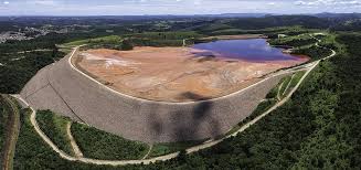
Monitoring dams and large water bodies through structural capacity assessments, depth measurements and seepage detection, helping operators & consultants maintain safety, prevent costly damage, and optimize asset management.
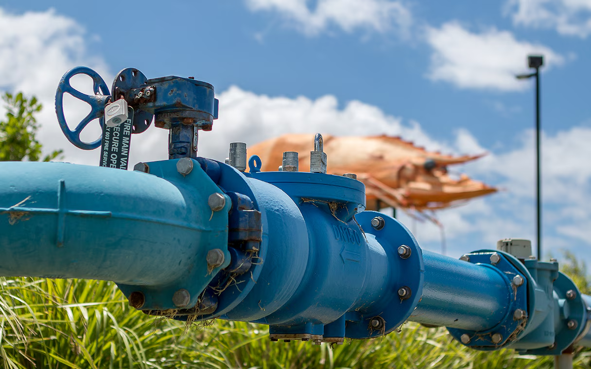
Satellite radar data to pinpoint leaks and assess pipeline conditions, enabling efficient water loss reduction, better resource management, and informed repair planning.
Precise, actionable 3D models, accurate volume calculations, geophysical & multispectral data to support informed decision-making and efficient project management.
Get in Touch
We're here to help. Reach out to us with any questions or to discuss your project needs.